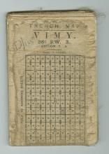
Ordnance Survey, Trench Map, 13 June 1916
Case Study
“The Topography of Golgotha”: Mapping the Trenches of the First World War
Creator
Ordnance Survey
Source
trench map
Date
13 June 1916
Place
Vimy, France
Collection/Fonds
Contributer
McMaster University Libraries
Rights
Copyright, public domain: McMaster University owns the rights to the archival copy of the digital image in TIFF format.
Identifier
00001501
Language
eng
Type
image
Format
jpg

